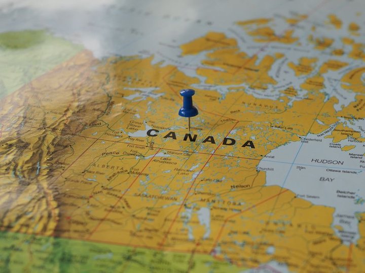
Unfenced.land, a project by Philadelphia-based design studio Other Waters Studio, has launched an interactive map identifying over 13,600 properties that directly border public land.
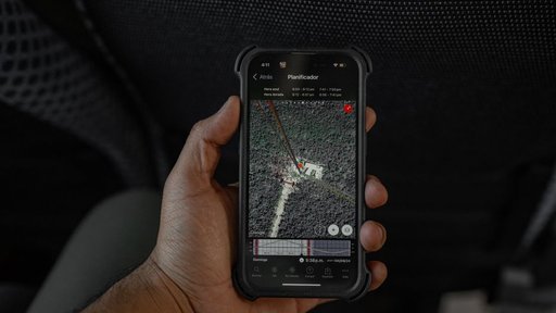
The tool addresses a gap in real estate discovery by specifically highlighting parcels that touch public forests, game lands, and wilderness areas. Rather than relying on listing descriptions or broad property databases, Unfenced verifies each property’s boundary against official maps, providing buyers and researchers with vetted geographical data.
Users can navigate the map to explore properties across multiple states, with functionality to zoom in and out, search specific regions, and click individual parcels for more details. The interface is designed for both desktop and mobile use—desktop users can hover to preview information and click for details, while mobile users can tap states to view properties and swipe to navigate different regions.
The project appears aimed at a niche but potentially valuable market: landowners and investors interested in properties with unique characteristics like proximity to recreational areas, conservation opportunities, or wilderness access. By automating boundary verification against official sources rather than relying on seller descriptions, the tool reduces uncertainty in property selection for this specific use case.
While the source material does not provide details about how Unfenced plans to monetize the platform, what specific data partnerships exist with government agencies, or how frequently the database is updated, the project represents an attempt to solve a data discovery problem in real estate through focused geographic tools. Other Waters Studio describes itself as a design studio, suggesting the emphasis may be on making complex geographic data more accessible and usable rather than on comprehensive real estate brokerage services.
Key facts
- Unfenced.land identifies 13,626 properties that border public forests, game lands, and wilderness areas
- Properties are verified against official boundary maps, not listing descriptions
- The tool is an interactive map allowing users to search by state and zoom/explore specific regions
- Unfenced.land is a project of Other Waters Studio, a Philadelphia-based design studio